Our Methods
Industry-Leading Detection
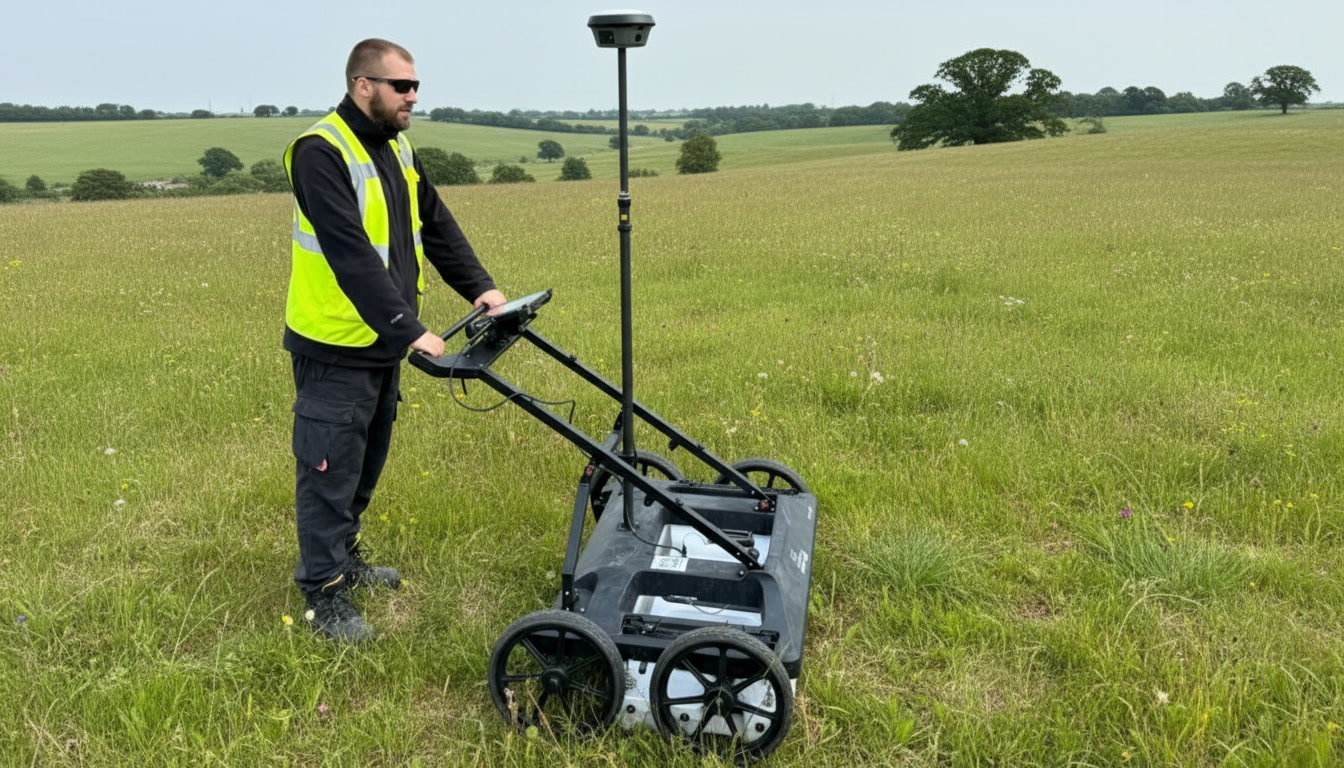
We use a combination of Ground Penetrating Radar (GPR) and CAT & Genny scanning to locate both metallic and non-metallic services, providing comprehensive coverage that desktop records alone cannot give you.
All utility surveys are backed by desktop research of statutory utility records prior to the site visit, giving your team the full picture before work begins.
- GPR — non-invasive detection of services and voids
- CAT & Genny — electromagnetic detection of metallic services
- Accurate 3D positions and depths of all detected services
- CCTV drainage surveys and flow testing where required
- Combined packages with topo or measured surveys
Utility CAD Plans
PAS 128 Report
Service Depth Data
Risk Assessment
GPR Data Records